REGIONAL PLANNING
FROM THE REGION FOR THE REGION
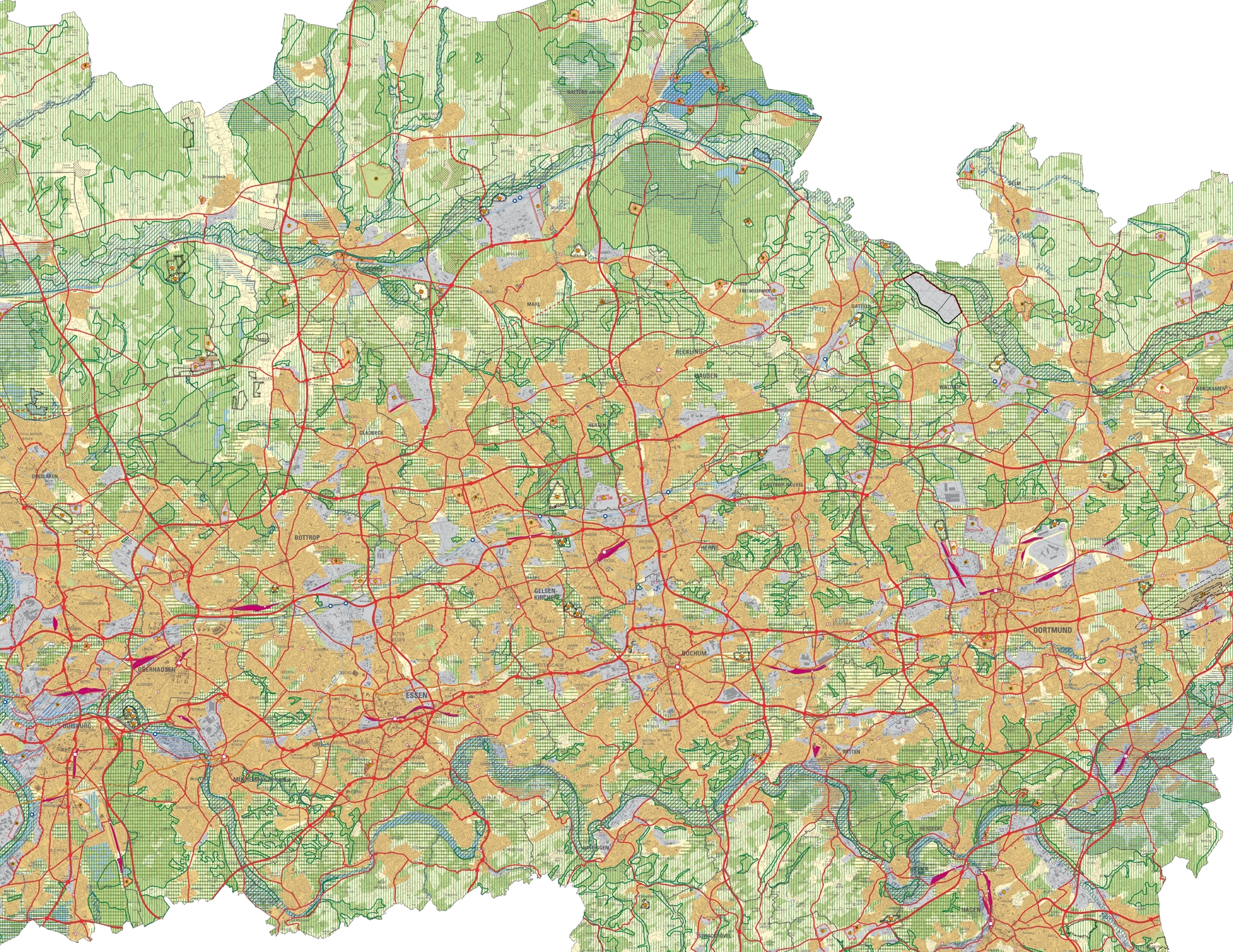
The RVR is currently developing a new comprehensive spatial vision for the future of land use in the Ruhr area, in the form of an exhaustive structural plan: the Ruhr Regional Plan.
25-50-25 grau
The new feature of this planning process is the close interlinking of formal and informal planning. This is safeguarded by the “regional discourse”, a loose series of discussion events, and by the “action plan”. This offers the capability of tackling new and complex issues in a flexible and participatory manner, without immediately initiating binding legal consequences.
The regional plan creates a binding definition of where in the Ruhr area it will be permitted to create future residential areas, business parks, green areas, recreation and nature conservation areas, woodlands, corridors for highways, rail lines, inland waterways, and areas for the extraction of mineral deposits.
Municipalities and technical authorities are required to comply with the specifications of the plan, and these are binding for them. The new Ruhr Regional Plan is developed in a formal process, in which the municipal administrations, technical authorities, associations, and the public are able to participate.
The regional plan is developed by the planning authority, and then approved by the political committee of the RVR, the General Meeting of the Association.
