Kopfbereich
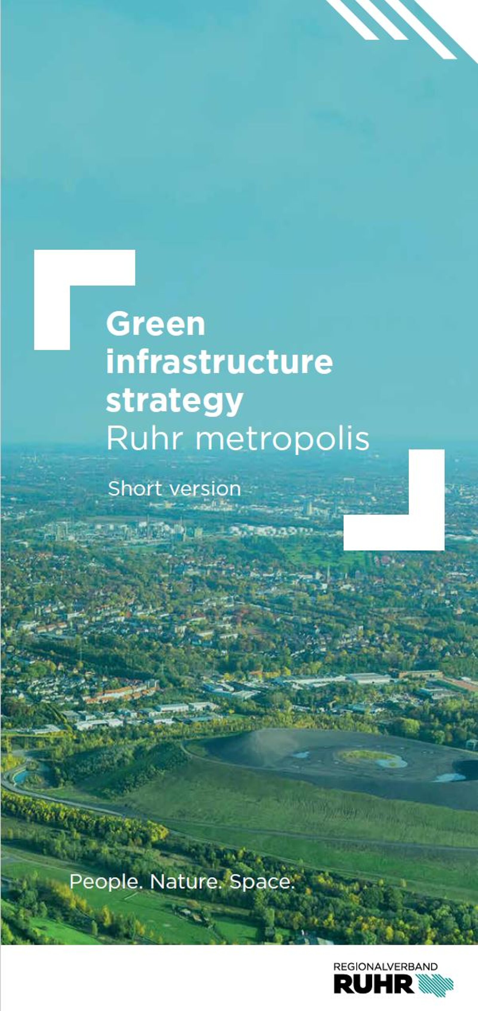
Green Infrastructure Strategy
The future vision for the Ruhr area
The regional strategy for green infrastructure is to be established as an informal, planning basis for the further development of green infrastructure in the Ruhr area.
The GI strategy is intended to achieve the further development of the Ruhr area into the 'greenest industrial region in Europe' in a participatory development process. The strategy leads to the implementation and (further) development of targeted activities and projects that are supported by all those involved. In doing so, an optimal balance is achieved between individual interests and the common good and a clear added value is achieved for the region. In addition to the regional identity of the residents of the Ruhr area, 'the greenest industrial region in Europe' is also perceived as such by outsiders.

Good to know
Green infrastructure connects people, nature and space and stands for a network of near-natural, multifunctional areas and ecosystems.
At the same time, the term includes an integrated planning approach in which actors from various specialist disciplines and institutions work together and jointly develop innovative solutions for complex societal challenges (e.g. climate change, growth and shrinkage processes, land use, species loss, digitization).
25-50-25 grau
At a glance
► Why is a regional GI strategy needed and what function should it have?
The GI strategy of the Ruhr Metropolis ...
- …serves as a narrative of a metropolitan region on the way to becoming a resilient, sustainable, socially just, livable and climate-adapted region.
- ...identifies regionally developed and agreed spatial images and action goals of the green infrastructure.
- ...acts as a strategic bracket to drive forward existing and newly developed 'green' projects, processes and measures in a targeted manner.
- ...provides a platform for initiatives through systematic communication and networking and makes existing large and small projects and activities in the region visible.
- ...offers an opportunity for organized exchange and networking between actors.
- ...strengthens the reputation of the Ruhr Metropolis as a model region for green transformation.
- ...supplements existing formal plans.
► What are the components of the GI strategy?
The Green Infrastructure Strategy for the Ruhr Metropolis illustrates the importance of green infrastructure for the future viability of the region. To do so, it first uses spatial images to paint a picture of what constitutes green infrastructure in the Ruhr area and what it could look like in the future.
It then specifies, with a total of 27 action goals, how the green infrastructure should be developed and how this can be implemented in different ways. A toolkit clearly summarizes which actors can contribute what to achieving these goals at the different spatial levels and how, i.e. with which (planning) instruments.
Finally, there is an outlook on how the green infrastructure in the Ruhr Metropolis can and should continue.
► What was the process of developing the Green Infrastructure Strategy?
The strategy is a joint product 'from the region - for the region', which was created through the cooperation of a wide range of actors from planning, administration, science and practice. In a process lasting almost three years (2021-2023), the charter and the strategy for the green infrastructure of the Ruhr metropolis were developed and written: from a script-like concept to numerous participation and event formats to the finished product.
Spatial images
What does the Ruhr area look like as the greenest industrial region?
Schematic spatial images were developed to answer the question of what already characterises the green infrastructure in the Ruhr metropolis today and how the existing potential can be further developed to achieve the vision of the greenest industrial region.
These break the entire region down into characteristic sub-areas. Distributed across the 53 municipalities and almost 4,440 km2 of the region, they appear again and again and illustrate that there are spatial patterns in the region that enable a transferable strategic approach to the qualification and further development of the green infrastructure. Secondly, the spatial images locate characteristic elements of green infrastructure for these space types, thereby creating an inventory of the green infrastructure of the Ruhr metropolis as it exists today. Thirdly, the spatial images combine the existing inventory with future development potential of the green infrastructure and thus create a future image of what the greenest industrial region could look like if the green infrastructure is strategically planned and developed.


25-50-25 Leitfarbe
Key themes and action goals
27 Action Goals as Good Professional Practice and Source of Inspiration
With the spatial and content-related concretization of the key themes of the Charter for Green Infrastructure in the Ruhr Metropolis, 27 action goals have been created. They form the heart of the Green Infrastructure in the Ruhr Metropolis strategy and make the agreements of the charter tangible. The action goals in the strategy show which actors at the municipal and regional level can use which approaches, measures and instruments to contribute to making the region even greener and thus more sustainable.
The diverse action objectives open up a wide range of possibilities, ranging from the protection and qualitative development of existing green spaces to a different approach to currently "grey" areas in the form of conversion, partial or complete desealing and retrofitting with green infrastructure. The Green Infrastructure Strategy for the Ruhr Metropolis brings together the perspectives of nature conservation, urban and open space development, mobility, climate adaptation and climate protection and forms an overarching framework for the existing specialist strategies.

On the one hand, the 27 action goals relate to established, good professional practice that can be applied and rolled out to other parts of the Ruhr metropolis. On the other hand, they provide new impetus for subject areas and projects that are new territory in the Ruhr area and that are worth testing under the integrated planning concept of green infrastructure.
The action goals are included in the PDF version of the Green Infrastructure Strategy.
25-50-25 grau
Long version
The Green infrastructure strategy Ruhr metropolis is available for download here:

Short version
The short version of the Green infrastructure strategy Ruhr metropolis is available for download here:
Kontaktbox(en)
Tino Wenning
Referat Klima und Umweltschutz
Teamleiter Grüne Infrastruktur und Klimaneutralität
wenning[at]rvr.ruhr
+49 201 2069-357